
+
The Ed Holmes Difference
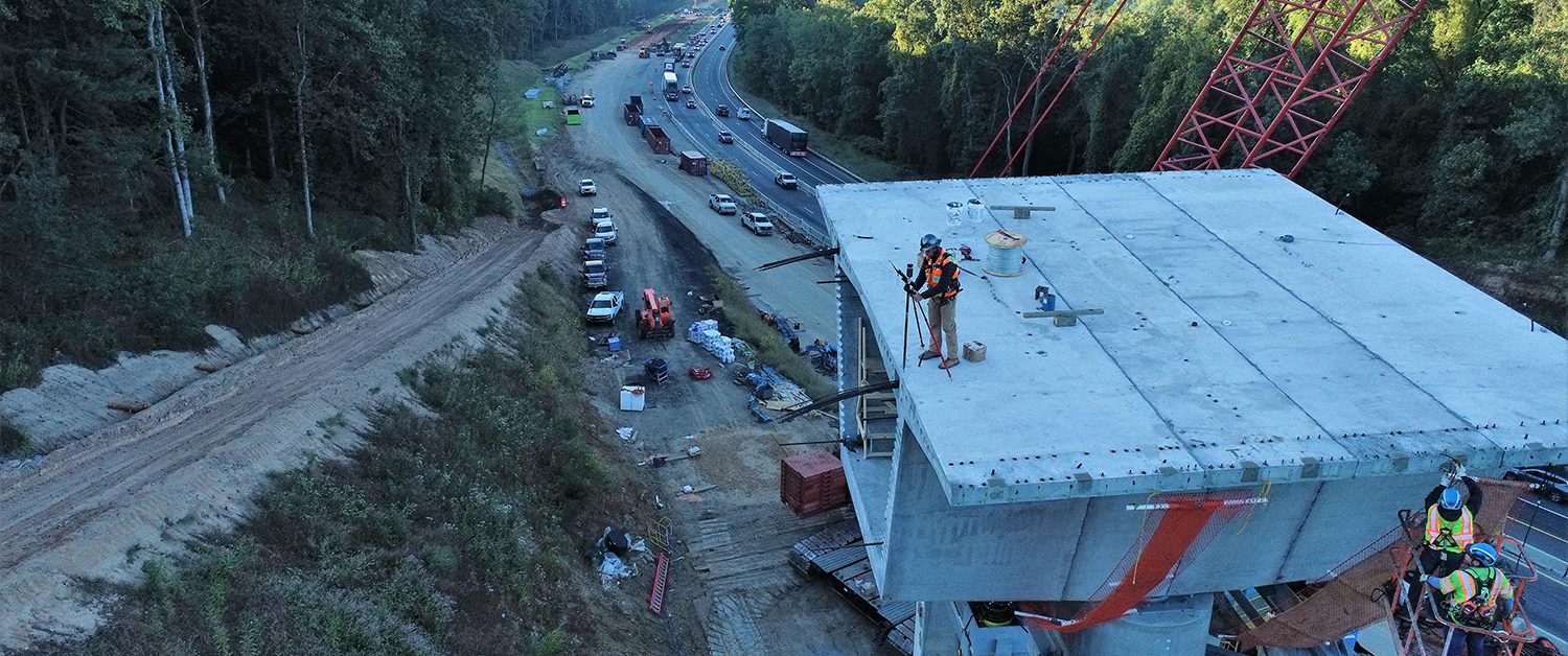
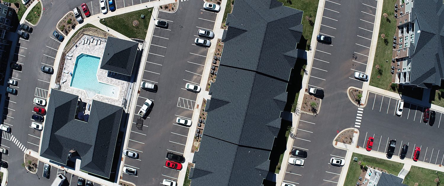
Our difference is the integration of cutting-edge technologies that has catapulted Ed Holmes &Associates to the forefront of mapping deliverables and empowers our clients with a deeper understanding of their projects.
From our LiDAR equipped drones capturing high-resolution three-dimensional terrain data to our own in-house Subsurface Utility Investigators utilizing ground penetrating radar, we employ the latest techniques to capture digital replicas of physical environments. Our commitment to leveraging satellite and aerial technologies, remote sensing and acquisition, 3D Laser Scanning, and LiDAR and Radar coupled with traditional surveying techniques position our clients with an unrivaled comprehensive understanding of their projects.
Our Projects
Interested in partnering with Ed Holmes and Associates?
The Ed Holmes & Associates team is here to learn more about your professional surveying needs – and to share the story of our experience and capabilities with you.